Culverts are some of the most difficult assets to inspect and survey. Confined, dark, water affected and often unsafe for human entry yet they play a critical role in flood management and infrastructure resilience.
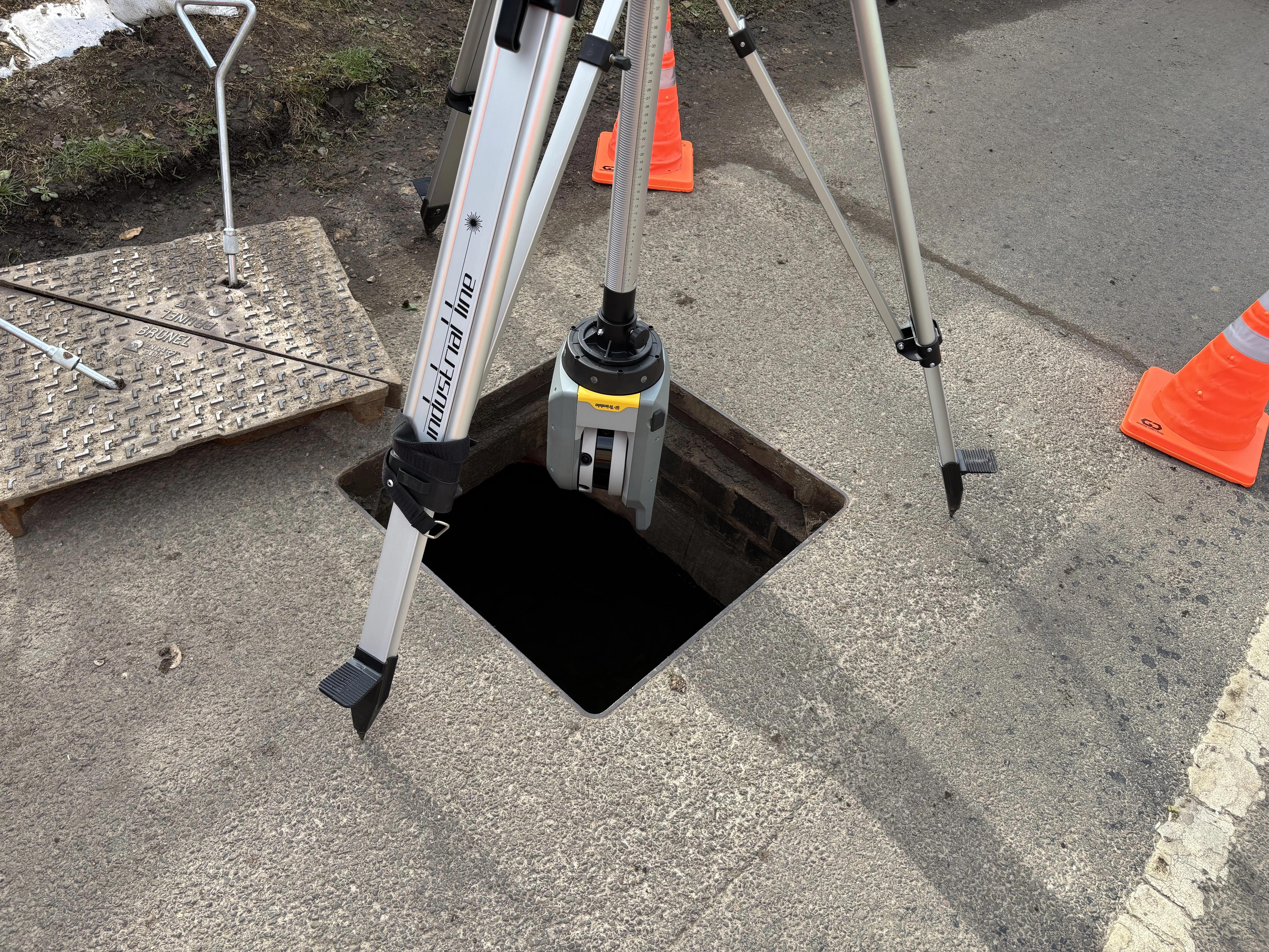
WE used confined space drone technology with a terrestrial laser scanner mounted on an inverted tripod to deliver a full culvert survey without manned entry.
The drone captured high resolution imagery to understand the condition of the culvert along with a 3D point cloud of areas the terrestrial scanner couldn't reach. The inverted tripod laser scanner provided survey grade accuracy at control locations, strengthening the overall dataset.
By integrating both datasets we produced a high-density, spatially accurate 3D point cloud enabling engineers to assess deformation, sediment build-up, structural condition and clearances. The advantages of this approach were:
- No confined space entry
- No isolation or drainage required
- Accurate, measurable data
- Digital baseline for future inspections
Smarter surveys. Safer outcomes. Better data.