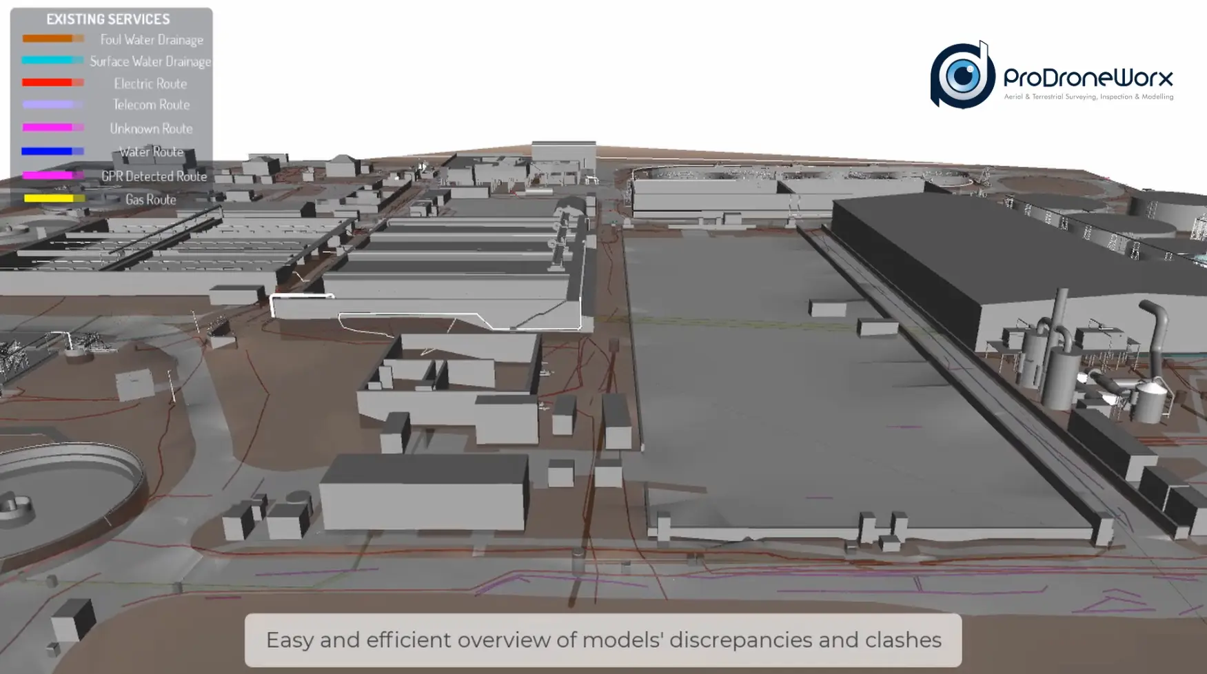
The surveying team carried out a topographical survey, utility survey, drone survey and used 3D laser scanning to capture as-build data on this large project. All of the digital data was used to create a BIM ready REVIT model of the project that was used by our client for planning and re-design purposes.
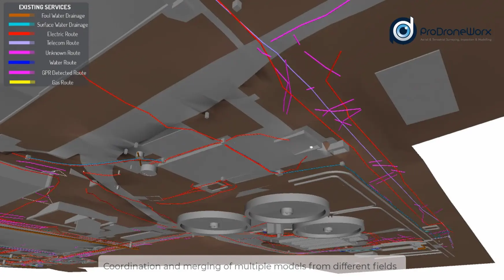
The mapping of the sub surface environment is hugely important in the planning and safety of construction projects as it provides life saving information regarding the geographic location of utilities and other underground features. This approach reduces the risk of utility strikes and the potential impact on the project and the workforce.
We took the Ground Penetrating Radar (GPR) drawing data in DWG format and brought this into our Revit model environment to the agreed site coordinates & levels. The GPR drawings are single 2D lines, with levels / depths / heights detailed in text. Once the GPR data is taken into the Revit environment in the correct location, we follow the outline of the lines, building a true 3D representation of the buried services.